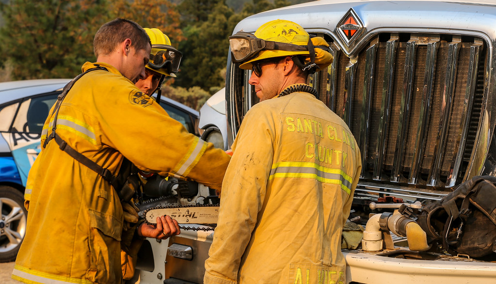
Santa Cruz Mountains Fire: CAL FIRE Conducts 85-Acre Prescribed Burn
Residents in the Santa Cruz Mountains may notice smoke from controlled fire operations as CAL FIRE and California State Parks carry out prescribed burning in the region.
The operation, reported on November 9, 2026, involves approximately 85 acres in the Forest of Nisene Marks near Aptos, California. The planned burns are part of vegetation-management efforts intended to reduce accumulated vegetation and help lower the risk of future destructive wildfires.
Officials indicated that the burning operation was expected to continue through Wednesday, November 11, depending on weather and other conditions.
What Is Happening in the Santa Cruz Mountains?
The reported fire activity is associated with a prescribed burn rather than an uncontrolled wildfire.
CAL FIRE and California State Parks are conducting the operation in a designated area of the Forest of Nisene Marks. Prescribed burning is a land-management technique that uses carefully planned fire to reduce excess vegetation and manage potential wildfire fuel.
Smoke may be visible from nearby communities and roads while the work is underway.
Where Is the Prescribed Burn Taking Place?
The reported operation covers approximately 85 acres in the Forest of Nisene Marks.
The area is located near Aptos in Santa Cruz County. Visitors and residents travelling around the burn area may encounter smoke or temporary restrictions on access to certain trails.
Are Roads and Trails Affected?
The available report provides the following access information:
- Aptos Creek Fire Road: Expected to remain open.
- Cusacks Trail: Closed during the prescribed-burning operation.
- Soquel Demonstration State Forest: Roads and trails expected to remain open.
Visitors should follow posted signs and instructions from fire personnel and park authorities.
Is the Santa Cruz Mountains Fire Dangerous?
The reported activity is a planned prescribed burn, not a reported uncontrolled wildfire.
However, smoke may affect nearby areas, and drivers could experience reduced visibility or delays when travelling close to the operation.
Residents should avoid entering restricted areas and follow official safety instructions. People who are sensitive to smoke should limit strenuous outdoor activities when smoke is present and monitor local air-quality information.
Why Are Authorities Conducting Controlled Burns?
Prescribed burns are used to manage vegetation and reduce the accumulation of combustible material in natural areas.
When conducted under suitable conditions, these operations can help reduce wildfire fuel, support ecosystem management, and contribute to longer-term fire prevention efforts.
The burns are planned around environmental and operational conditions to help keep the fire within designated boundaries.
Latest Update on the Santa Cruz Mountains Fire
The latest report available for this article describes an 85-acre prescribed-burning operation in the Forest of Nisene Marks, expected to continue through Wednesday, November 11, 2026.
Smoke and possible delays were expected near the burn area. The Aptos Creek Fire Road was reported open, while Cusacks Trail was closed during the operation.
Residents and visitors should check updates from CAL FIRE and California State Parks for any changes to the schedule or access restrictions.
For more updates, please check our Facebook social media platform [Data Source]. Thank you for reading.